01Supported
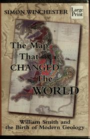
William Smith's 1815 map was the first detailed geological map covering most of a country.
The surviving map, publication records, and institutional histories establish its 1815 issue and unprecedented national scale and stratigraphic detail. Earlier local and mineral maps existed, but Smith integrated formations across England, Wales, and part of Scotland.